
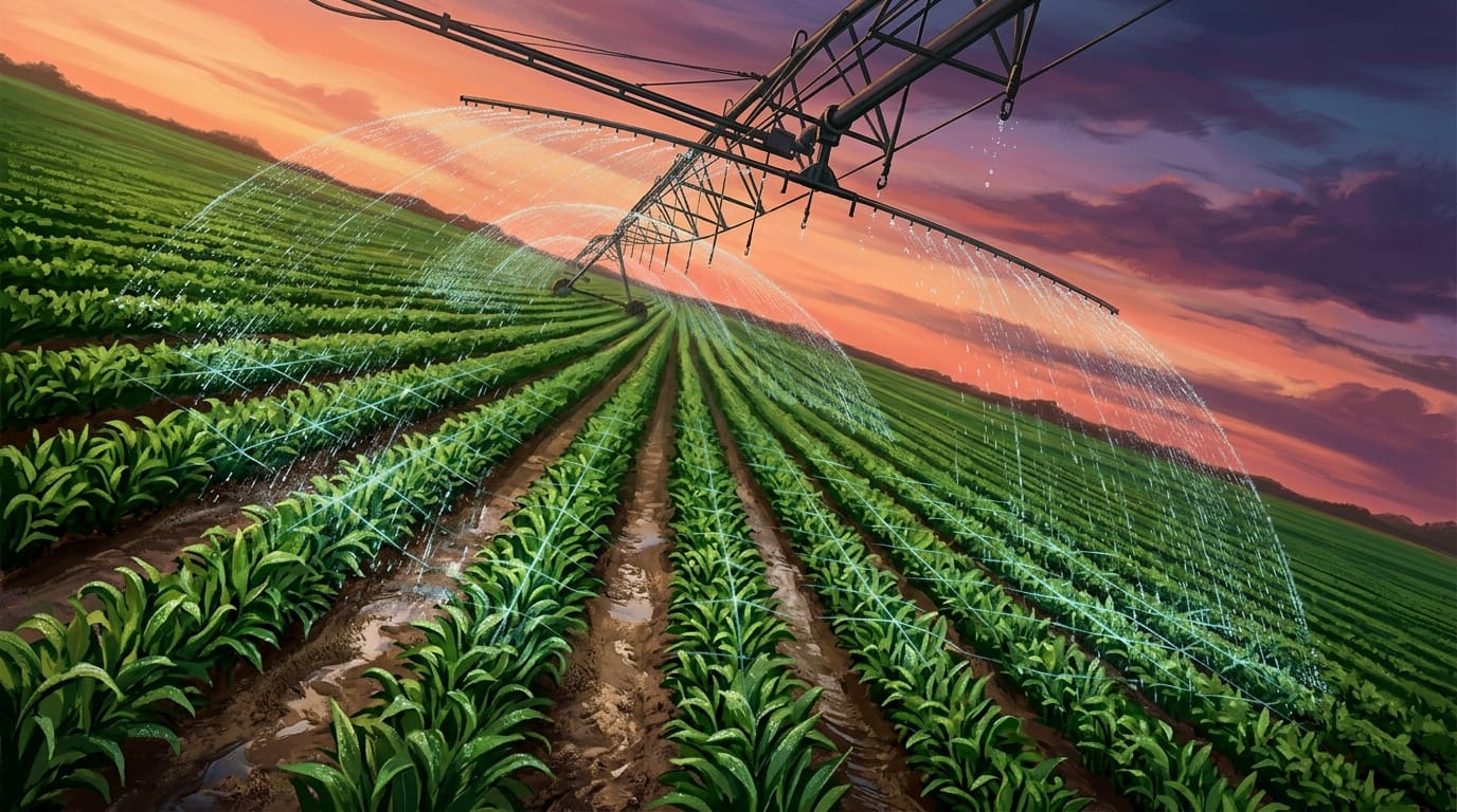
Farmers across the globe gamble with water every year. Too little means wilting crops, wasted effort, and lost income. Too much means drowned roots and soil erosion. It's a high-stakes game where the difference between a thriving harvest and a failed one often comes down to an invisible resource hidden beneath the ground: the water available to plants.
This isn't just a challenge for individual farms; it affects the cost and availability of our food. The consequence is immense pressure on farmers to make every drop count, especially in a world where droughts are becoming more common and water resources more strained. For too long, growers have had to rely on guesswork or broad regional data to understand what their crops truly need.
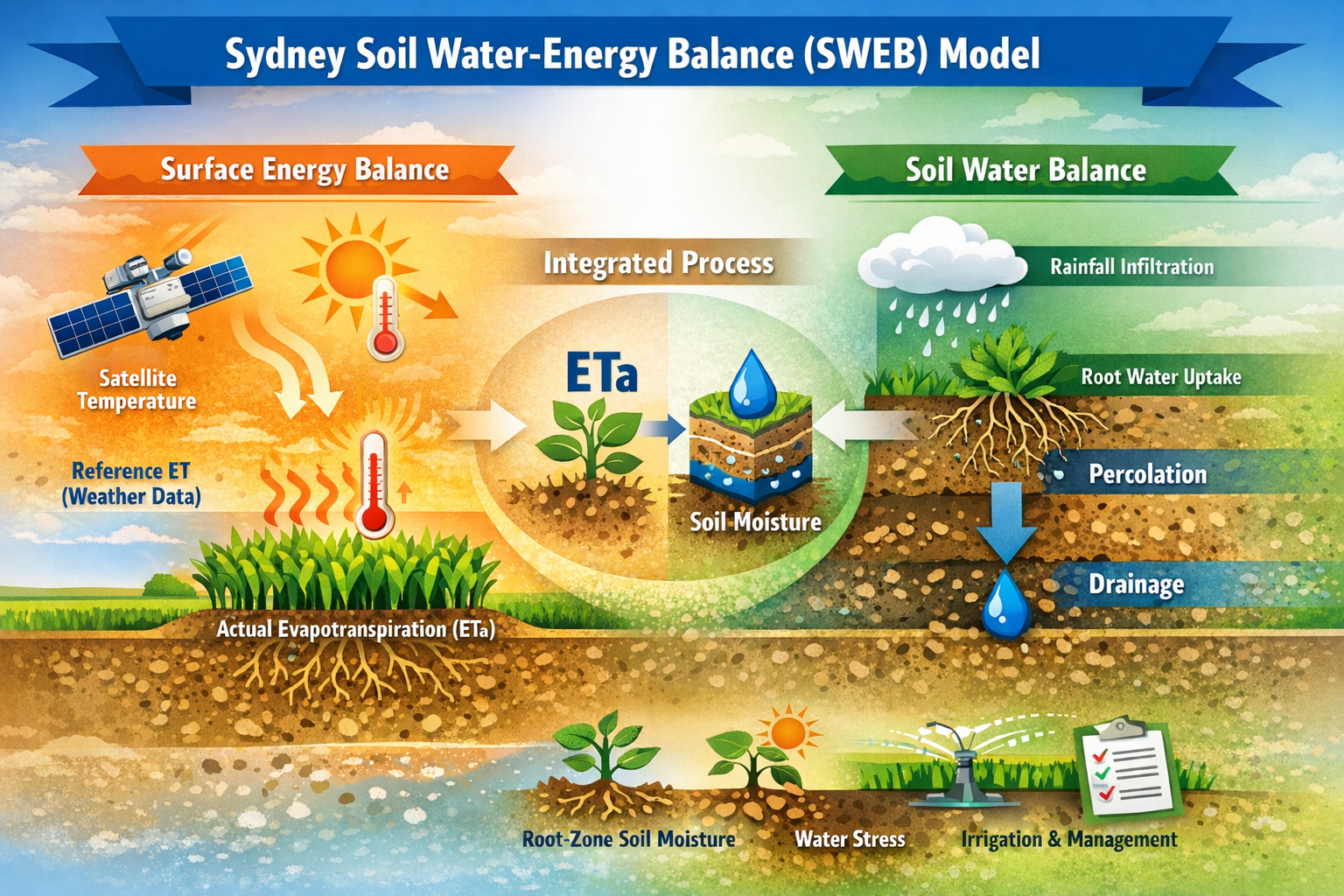
Now, a new kind of insight is emerging from the fields. Researchers, led by Yi Yu and colleagues, describe a new system in a preprint appearing on arXiv that could change how farmers see and manage their most vital resource. This system, built around a sophisticated new tool called the Sydney Soil Water-Energy Balance (SWEB) model, generates precise, daily maps of what scientists call plant-available water (PAW) for every field.
Think of PAW as the actual drink a plant can take from the soil. This advanced model is designed to estimate this critical metric at a granular level—down to 30-meter squares, updated every single day. This is a dramatic leap from older methods, which often offered only broad strokes or required costly, time-consuming manual measurements. This is how it works. The SWEB model integrates a powerful mix of data. It pulls information from satellite imagery, which tracks what's happening on the surface, combines it with climate data like rainfall and temperature, and then factors in specific soil properties unique to each location. All this data is fed into a physically consistent framework that calculates how much water is evaporating from the soil and transpiring from the plants, ultimately revealing how much water is left in the root zone for crops to use.
This isn't just a theoretical exercise. The SWEB model has been put to the test across Australia's diverse grain-growing regions, proving its reliability. Its estimates of root-zone soil moisture showed a strong match with actual measurements, demonstrating correlation coefficients generally starting from 0.70 and reaching as high as 0.85 in many areas. That means the model's predictions align with reality 70 to 85 percent of the time, offering a level of accuracy that farmers can genuinely rely on.
Here's why that matters: Having precise, up-to-the-minute information on plant-available water allows farmers to make smarter, more responsive decisions. Imagine knowing exactly which parts of your field are thirsty and which are saturated. This means you can adjust irrigation schedules to deliver water only where it's truly needed, avoiding both under-watering and wasteful over-watering.
The consequence is immediate savings on water, fuel, and labor. Beyond water alone, these insights can also inform other critical choices, like how much nitrogen fertilizer to apply. Nitrogen is expensive, and if a crop doesn't have enough water to absorb it effectively, the fertilizer is wasted, potentially even leaching into waterways. With accurate PAW data, farmers can optimize their fertilizer top-ups, ensuring every dollar spent contributes to maximizing crop output while minimizing environmental impact. It allows for more accurate predictions of how much yield a field can realistically produce, given its water limitations. This translates directly into more efficient resource allocation and greater agricultural sustainability.
The SWEB model represents a significant step in how we integrate diverse data sources—from space to the soil itself—to provide actionable insights for agriculture. It's part of a larger trend in precision farming, where technology helps us move beyond generalizations to truly understand the unique conditions of every paddock.
Other innovations are also pushing the boundaries. Scientists are exploring molecular biomarkers—specific gene expressions in plants—that can directly signal a plant's water status, independent of soil type or growth stage. And in the realm of soil health, integrated sensing technologies combine portable X-ray devices and microscopic imagery with advanced models to rapidly assess soil fertility for elements like organic carbon, boron, and sulfur. These methods, while distinct from SWEB, share the goal of giving farmers a more complete, real-time picture of their fields.
The future of farming hinges on this kind of specific, real-time knowledge. By harnessing data from satellites, weather stations, and even the soil itself, farmers can unlock efficiencies that were previously impossible. They can reduce waste, improve yields, and strengthen their resilience against the unpredictability of climate. The next step is getting these powerful, precise water maps into the hands of every farmer who needs them, transforming guesswork into guided action, one field at a time. ◆
Sourced from: "SoilWaterNow: Soil water nowcasting for mapping plant available water (PAW) across paddocks for improved on-farm decision-making" by Yi Yu et al.